The fourth event in the 2026 Wednesday Evening Series will be held at Seattle University, a NEW venue! Located on the east side of First Hill up the hill from and east of downtown, Seattle U. is a compact urban oasis amidst the hustle and bustle of the big city.

The Wednesday Evening Series is our most relaxed, casual set of navigation events, held in local parks once the weather warms up. These events are a little more low-key than those in the Winter League, and we typically offer a barbeque afterward for all participants.

An important note for this event – the conditions of our permit prohibit us from serving food in an “official” capacity, so we will NOT be providing our usual post-race barbeque spread. However, this does not preclude attendees from bringing their own food for themselves.

Events in the Wednesday Evening Series are generally less challenging (both physically and navigationally) than many of our other events, and are therefore great for beginners and those less experienced with orienteering – while also offering a challenge to longtime participants of the sport.

We will be offering day-of event registration in addition to preregistration. There will be no start time pre-signup.

COURSES

Course 1 (Beginner): 1.0 km, 10 controls, 15 m climb
Course 2 (Intermediate): 1.9 km, 12 controls, 60 m climb
Course 3 (Advanced): 3.2 km, 17 controls, 105 m climb
Course 4 (2+3)*: 5.1 km, 29 controls, 165 m climb

*Participants on Course 4 will first complete Course 2, then, without punching or going to the finish, will return to the start, exchange their Course 2 map for a Course 3 map, and continue until completing Course 3.

How are courses measured?

Courses are measured as the crow flies, in a direct line from control to control. Unless you have wings, you will travel farther than this distance! Courses are measured in kilometers, so a good rule of thumb is to simply round up to miles to estimate how far you will go. So in a 5 kilometer race, you’ll likely travel up to 5 miles.

Notes from Mapper and Course Designer Patrick Nuss: 
.
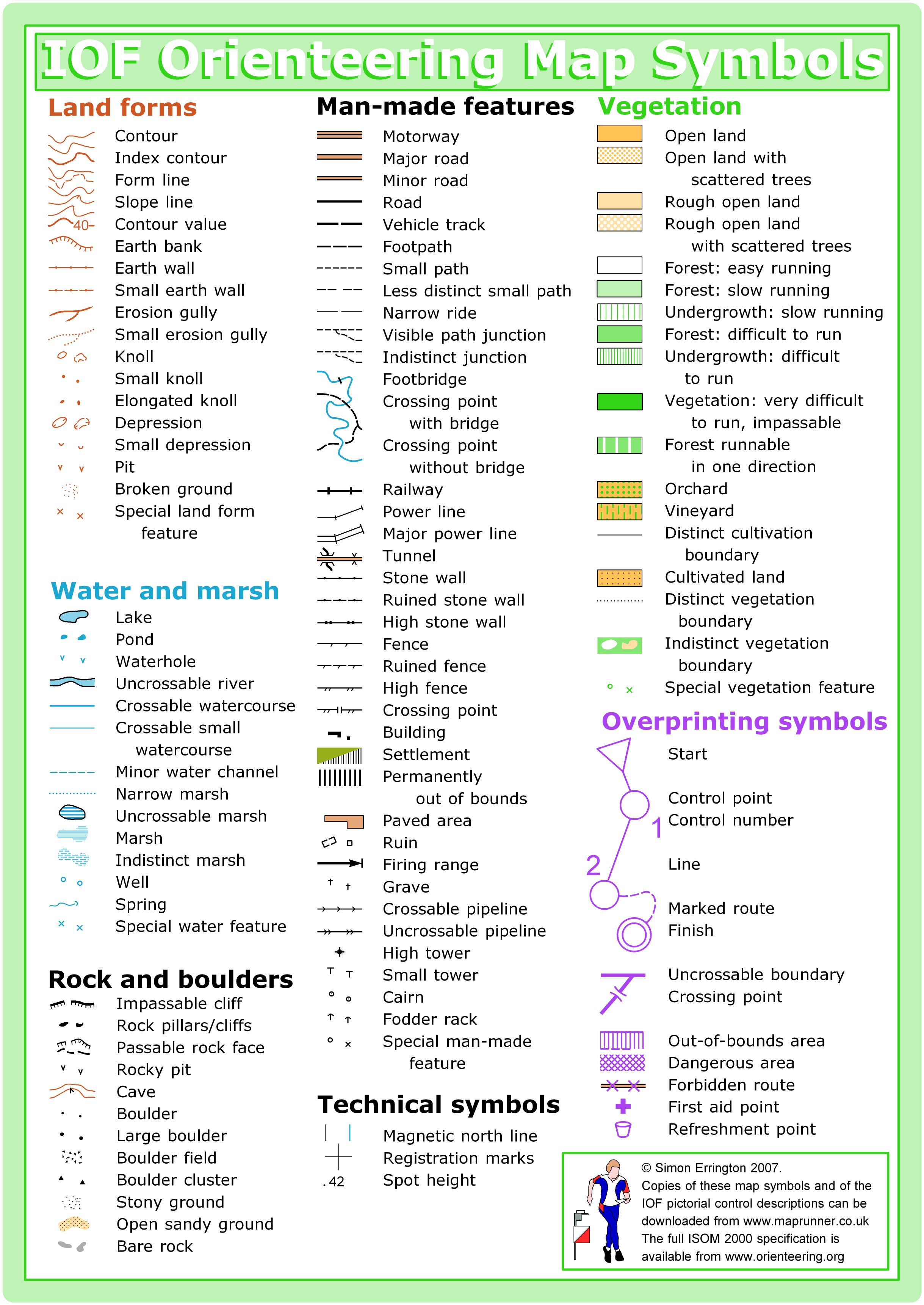
Seattle U. is a brand-new map, mapped in June 2026 with the latest sprint orienteering symbol set.
.
About the Venue: the map covers 50 acres of the main campus on First Hill, bounded by Madison St to the north, Jefferson St to the south, Broadway to the west, and 12th Ave to the east.
.
The campus is aligned to a grid of smaller streets and wide pedestrian paths (which used to be streets).  Buildings range in size from small to large, and are surrounded by plazas, lawns, courtyards, and landscaped areas. The area slopes downward from west to east, with a maximum elevation change of around 30 meters.
.
Map Notes:
.
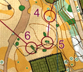
1) The map was drawn at 1:4000 with 2.5m contours, but is enlarged to 1:3000 for better legibility. It fits on a standard letter-sized sheet of paper.
.
2) There are two colors for paved areas: light tan for pedestrians only, and dark tan for areas with motor vehicles. It is possible to encounter some campus service and security vehicles in light tan areas.
.
The busy arterial roads that bound the map are mapped as out-of-bounds with the pink crosshatch symbol. Additionally, the arterial road of James Way / Cherry St which cuts across campus is also mapped with out-of-bounds pink crosshatch.
.
For Courses 3 and 4, you will need to cross James Way / Cherry St to access the southern-most 30% of the map. For fairness and safety reasons, the only allowed way to cross the road while orienteering is to use the pedestrian bridge over the road. There are stairs descending from both sides of the bridge: the north side goes down to the road, and the south side goes down to the road and also accesses the plaza level of some campus apartments.
.
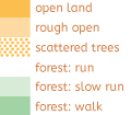
2) As typical for a private college campus, there are a lot of nicely landscaped and hillside areas of vegetation that are mapped as out-of-bounds olive green. There are also some areas of vegetation with taller trees and undergrowth that are mapped with  shades of white and green. It’s a bit subjective where the line is between out-of-bounds green vs. regular green; the map tends to keep smaller areas of olive green together and smaller areas of in-bounds green together, and not to intermix them. We’re not trying to play “gotcha” with the olive green.
.
3) There are basically three thicknesses of black lines: 1) Very thin, for pavement edges, canopy edges, and stair steps; 2) Very thick, for uncrossable (i.e. illegal to cross) fences and walls; 3) Medium thick, for crossable fences, railings, retaining walls, and benches.
.
For legibility reasons, many instances of the medium and thick black lines don’t have their expected tick marks (fence or railing) or circle/half-circle marks (walls). Mapping this way makes it easier to see where you can and can’t go, at the expense of sometimes not being able to differentiate between walls and fences.
.
4) There are a few small areas of two-level running, which will only impact Courses 3 and 4. The most important one is the pedestrian bridge that connects that north and south areas of the map. These areas use the “sharktooth,” dotted-line, and diagonal hatching symbols to indicate the extent and passability of the multi-level areas.
.
5) Multi-level parking garages are either ignored (i.e. mapped as a building) or as out-of-bounds. In the southern area of the map (only for Courses 3 and 4), there is a complex of campus apartments built into the hill with 5 overlapping levels of parking garage underneath, all accessible from the surface level (intended for cars), and some accessible from the interior plaza levels (doorway-sized entrances that may be open). None of these parking garage entrances are mapped as such. Instead, they are mapped as buildings or uncrossable walls below the plaza level. If you see any way into these garages, know that you’re not supposed to go in there!
.
In one location elsewhere on the map, there is a two-level area with a driveway down into a paved area that is partially below a building. This multi-level area has not been ignored and is mapped appropriately (there is a garage door here that goes further underneath the building, but it has always been closed). Again, only Courses 3 and 4 will encounter this part of the map.
.
6) Special symbols are used sparingly, to increase map legibility. The map has zero black X’s. Large utility boxes and equipment (e.g. trash compactors, generators, large air conditioners, solar panel array) use the minimum-size building symbol. Black O’s are only used for very tall light poles for sports fields and flag poles, and not for the ubiquitous streetlight pole. Significant statues and sculptures use the cairn symbol. Benches are oftentimes mapped as short segments of passable wall.
.
Course Notes:
.
1) Because of impassable objects like buildings and walls, the actual course distances may be up to 50% longer than the straight-line distances that are published.
.
2) Reminder that going through the interior (i.e. opening doors) of any building is not allowed, even if it might be faster. Just pretend that all doors are locked.
.
3) For Courses 3 and 4 only – for fairness and safety reasons, you must use the pedestrian bridge to cross over the arterial to access the southern section of the map. Don’t jaywalk or go to a stoplight.
.
4) For Courses 2, 3, and 4 – the course line crosses itself a lot as you zig and zag across campus, so pay attention to where your next control is! Course #1 does not cross over itself.
.
5) For Course 4 – There are 29 total controls on this course, and if you use a SI-5 e-punch, it only has capacity for 30 punches, so be sure to punch only the controls on your course or you may run out. There are a lot of controls in a relatively small area, so check your codes!

SCHEDULE

5:00 pm – Registration and starts open.

7:00 pm – Registration and starts close.

8:00 pm – Course closure.


Why is there a start window?

This event uses an interval start, which means that participants are started in waves instead of all at once. When you arrive at the start tent, find the chute for your course and follow the start volunteer’s instructions.

PRICES

PRE-REGISTRATION PRICES
$22 base price
– subtract $5 for CascadeOC members
– subtract $5 for using your own e-punch

DAY-OF-EVENT REGISTRATION
$25 base price
– subtract $5 for CascadeOC members
– subtract $5 for using your own e-punch

Participating as a group? Just $5 for each additional adult (18+) group
member, no cost for additional minors.

Become a member for $5-25

Purchase your own e-punch for $40-$80

What’s an e-punch?

An e-punch records your race. At each control, you’ll dip the e-punch into an electronic box, which will beep and flash as confirmation. After you finish, you’ll download the e-punch at the download tent and get a receipt that show which controls you visited and how long you took between each; these are your “splits.”

Part of the fun of orienteering is comparing your splits with people who completed the same course, and discussing the routes you took!

SIGN UP

Online pre-registration closes:

Day-of-event registration is available by cash or check, made payable to Cascade Orienteering Club.

Learn more about volunteering

Volunteers make these events happen! You can volunteer and participate on the same day, plus earn volunteer points to earn a free event.

LOCATION

PARKING

Designated event parking will be located in the campus’ main Visitor Parking lot (also known as P1) accessed from the intersection of 12th Ave and E Marion St. Note that you will be required to pay for parking in this lot; the evening rate (after 5 pm) is $8.

Alternatively, it may also be possible to find street parking nearby, though this can be difficult in the Capitol Hill / First Hill area.

The event center will be located on the Union Green, a large grass lawn just west of the parking lot. Restrooms will be in the Pigott Building on the south side of the Green.

CARPOOL

Looking for a carpool? Join the club email group and share your request to find a ride.

THE MAP

No map preview available

SAFETY & ETIQUETTE

Return to the Finish
All participants MUST return to the finish and download their e-punch or turn in their punch card.

Even if you have not finished your course, you must still return to the the finish and confirm with event staff that you have returned safely.

Out of Bounds
Some areas may be marked out of bounds. It is imperative to respect these boundaries to maintain our relationships with land managers. Participants MUST NOT go out of bounds. Any participant caught going out of bounds will be disqualified.

Course Closure
All participants MUST return to the finish by course closure time. If a participant does not return by course closure, event volunteers will begin coordinating a search party.

If you need a long time on the course, start as early in the start window as possible, wear a watch, and be prepared to cut your course short to make it back by the course closure time.

Whistle
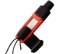
All participants MUST carry a whistle on the course. Complimentary whistles are available at the start tent (please only take one).

If you are injured on the course and need assistance, blow three long blasts to call for help.

If you hear a call for help, abandon your course to find the person in distress.

Voices
Part of the fun and fairness of orienteering is navigating your own course, so please be polite when you find a checkpoint and don’t holler that you’ve found it.