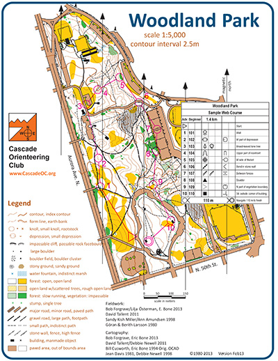
Woodland is a wide-open park of gently rolling hills (lots of them), mowed grass, and runnable forests, interlaced with paved and gravel trails. It is a popular cross-country venue for its varied terrain and fall colors, and popular orienteering venue for the same reasons. It is the location for the club’s National Orienteering Week event each year, and a great place to start practice contour recognition and compass skills.
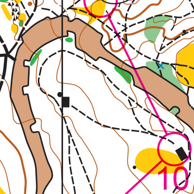
Note: Samples of the map are provided here for educational purposes only; the map shown here is not kept up-to-date. The course shown is a Beginner/Intermediate course, and actual controls do not exist in the terrain.
The purpose of providing these navigational and physical ratings below is to provide greater context for how challenging an orienteering course at this venue might be. For example, an advanced-level course at a local city park will be easier to complete than an advanced-level course in the mountains.