While Fort Steilacoom is not rugged or remote, it can be fairly challenging for a city park. There are many criss-crossing trails here, both in open grass and in forest. However, there are also many distinct features such as buildings, roads, ballfields, and a small lake, that are great navigational aids.
Part of the park is very flat, while part of the park is quite steep. How steep your course is depends on which course you choose and how nice the course designer decided to be.
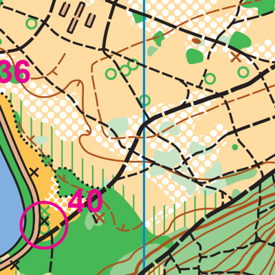
Note: Samples of the map are provided here for educational purposes only; the map shown here is not kept up-to-date. The course shown is a Beginner/Intermediate course, and actual controls do not exist in the terrain.
The purpose of providing these navigational and physical ratings below is to provide greater context for how challenging an orienteering course at this venue might be. For example, an advanced-level course at a local city park will be easier to complete than an advanced-level course in the mountains.