Carkeek Park is a relatively small park tucked along the Puget Sound shoreline in north Seattle. Most of the park is forested, while parking lots and other open areas are situated at the bottom of a large ravine system which constitutes the main topographic framework of the park. This means that the trails which radiate out to the north and south up the sides of the ravine are quite hilly and steep.
The map is made to the ISSOM (“sprint”) standard, and most of the forested areas are mapped with the olive green out-of-bounds symbol.

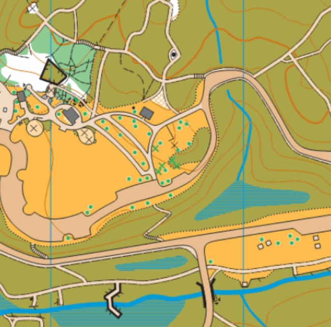
Note: Samples of the map are provided here for educational purposes only; the map shown here is not kept up-to-date.
The purpose of providing these navigational and physical ratings below is to provide greater context for how challenging an orienteering course at this venue might be. For example, an advanced-level course at a local city park will be easier to complete than an advanced-level course in the mountains.