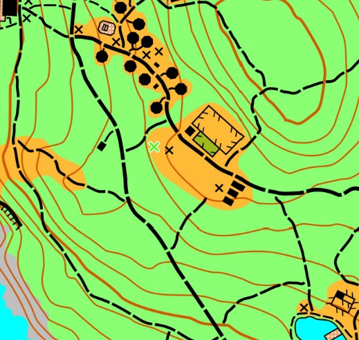
Canoe Island is a 50-acre, privately-owned island in the San Juans, accessible only by ferry and boat. The island is owned by French Camp, a children’s camp with classic outdoor activities and immersive French-language learning. The map features several small hilltops, medium-density forest, rocky beaches, and a hive of camp buildings.
This map was created by Andrew Weygandt in 2025 as part of his progress toward earning a Level 4 OUSA patch.
Do not visit this private island without the permission of Canoe Island French Camp.
Note: Samples of the map are provided here for educational purposes only; the map shown here is not kept up-to-date.
The purpose of providing these navigational and physical ratings below is to provide greater context for how challenging an orienteering course at this venue might be. For example, an advanced-level course at a local city park will be easier to complete than an advanced-level course in the mountains.