Located in north Seattle off Lake City Way, the Meadowbrook map consists of several distinct mini-sections. Events are staged from Meadowbrook Playfield Park, while adjacent Meadowbrook Pond as well as the campuses of Nathan Hale High School and Jane Addams Middle School are also included.
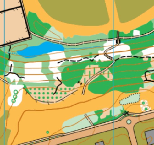
Note: Samples of the map are provided here for educational purposes only; the map shown here is not kept up-to-date. The course shown is a Beginner/Intermediate course, and actual controls do not exist in the terrain.
The purpose of providing these navigational and physical ratings below is to provide greater context for how challenging an orienteering course at this venue might be. For example, an advanced-level course at a local city park will be easier to complete than an advanced-level course in the mountains.