Fredericksen Wilderness Park is aptly named–all woods, with a dense trail network through thick woods. And yet, it has some surprises to it, including some runnable forest that is useful for contour practice, and a popular disc golf course!
ABOUT THE PERMANENT COURSE
This venue features a permanent course, which you can do at any time! To try it out, print the PDF map and control descriptions below (or simply open them on your smart phone), read the instructions on the permanent course page, and have fun!
- Print/view Frederickson Wilderness Reserve map
- Print/view Frederickson Wilderness Reserve control descriptions (needed to complete the permanent course)
- Introduction-Orienteering Permanent Course at Frederickson Wilderness Reserve
CascadeOC supports many permanent courses over a large geographic area and our volunteers have limited time to keep up with maintenance. If you observe any damaged, obscured, or missing markers, or if you can help regularly monitor and maintain this permanent course, please let us know. Thanks for your help!
To find more venues with permanent courses, visit the Map of Maps page, where each permanent course is marked by a yellow pin.
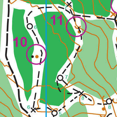
Note: Samples of the map are provided here for educational purposes only; the map shown here is not kept up-to-date.
The permanent orienteering courses at Fredericksen Wilderness Park were designed and installed as a Boy Scout Eagle Award Service Project by Sean Dougherty, Boy Scout Troop 1571, Poulsbo, WA.
The purpose of providing these navigational and physical ratings below is to provide greater context for how challenging an orienteering course at this venue might be. For example, an advanced-level course at a local city park will be easier to complete than an advanced-level course in the mountains.