Dash Point Park is like three navigational areas merged into one heavily-wooded map: (1) The lower, light green hillside area near the parking, (2) the upper, flat campground area and associated trails, and (3) the hillside trail network at the south end of the park.
This 1:10,000 map is spacious enough that it is used for our largest events (Winter O’ and WIOL school league). Another organization uses it for mountain bike races, based out of the southern end that now has a trail head facility. This map has a permanent course.
This venue features a permanent course, which you can do at any time! To try it out, print the PDF map and control descriptions below (or simply open them on your smart phone), read the instructions on the permanent course page, and have fun!
- Print/View Dash Point map Marker #36 is missing as of 11/13/22.
- Print/View Dash Point control descriptions (needed to complete the permanent course)
- Introduction-Orienteering Permanent Course at Dash Point
CascadeOC supports many permanent courses over a large geographic area. This makes it challenging for our volunteers to keep up with maintenance and information on their condition. If you observe any damaged, obscured, or missing markers, please notify Thomas Lanphear.
To find more venues with permanent courses, visit the Map of Maps page, where each permanent course is marked by a yellow pin.
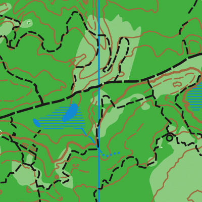
Note: Samples of the map are provided here for educational purposes only; the map shown here is not kept up-to-date. The course shown is a Beginner/Intermediate course, and actual controls do not exist in the terrain.
The purpose of providing these navigational and physical ratings below is to provide greater context for how challenging an orienteering course at this venue might be. For example, an advanced-level course at a local city park will be easier to complete than an advanced-level course in the mountains.