Terrain
The terrain is open semi-desert with large coulee/rock/cliff features (lots of climbing activity near by). What little vegetation there is is dominated by sage brush.
The most prevalent symbol on the map – rough open land. Land cover is very rugged – small stones, cliffs, big stones, boulders. Very tiring for the feet and knees.
Warnings
The footing is tricky, there are many high cliffs (the uncrossable cliff symbol is used for dangerous locations where you must not go).
Pits – in lower places which are a bit wetter throughout the year, but not enough to form a pond, meadows can be found. Some parts of the map have been used for livestock and people seem to have tried to get water in some organized shape. Several pits and rocky pits can be found there. Rocky pits can be fallen into. Please don’t do that.
Footing – cliffs with sand are slippery, stones roll, ankles too. Please be careful.
Snakes – there are rattlesnakes from May through about September, depending on weather. While it’s unlikely you’ll see any, be aware that they are out there.
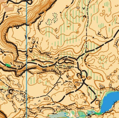
Note: Samples of the map are provided here for educational purposes only; the map shown here is not kept up-to-date.
The purpose of providing these navigational and physical ratings below is to provide greater context for how challenging an orienteering course at this venue might be. For example, an advanced-level course at a local city park will be easier to complete than an advanced-level course in the mountains.